Spring time in the San Juans
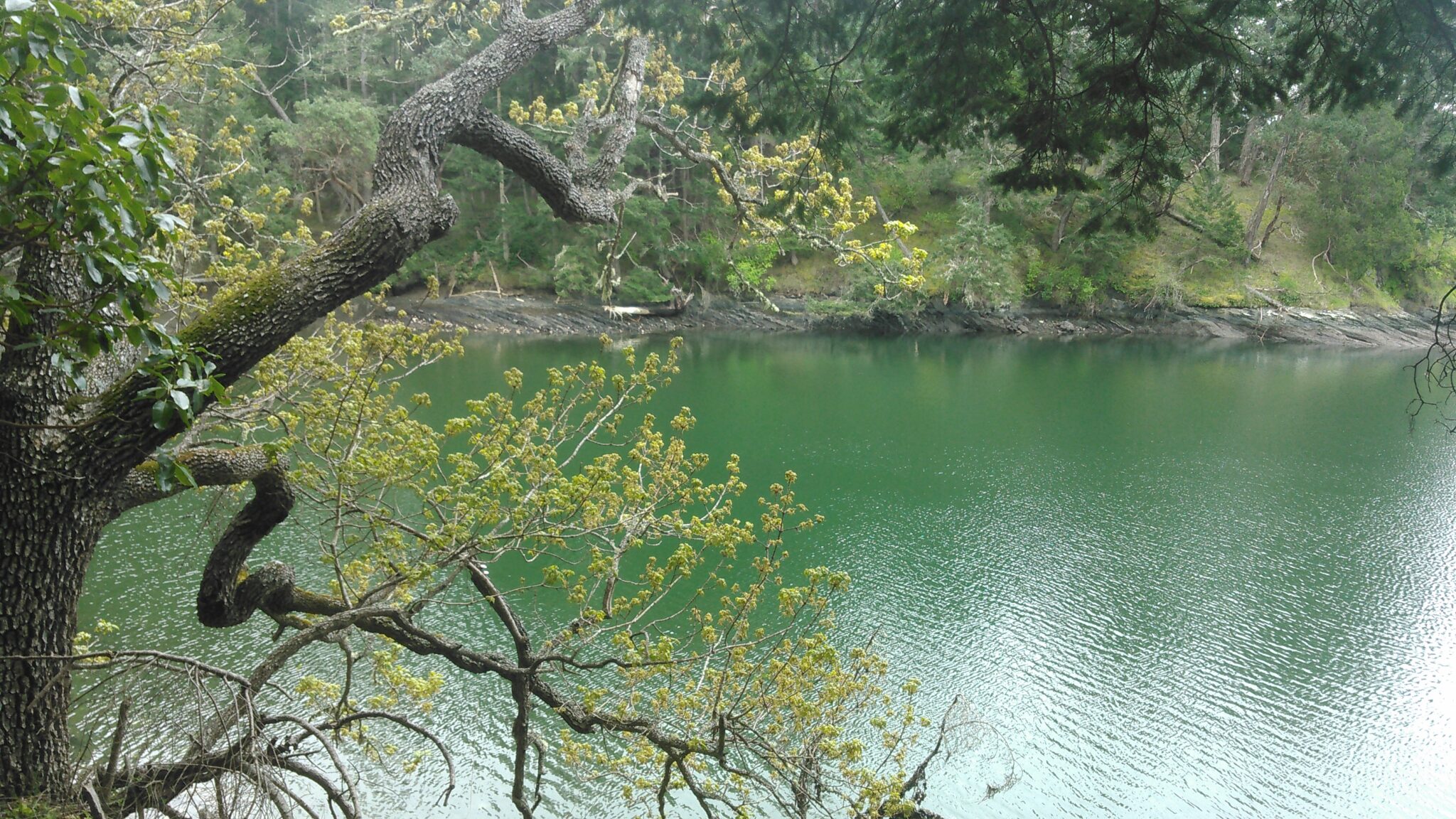
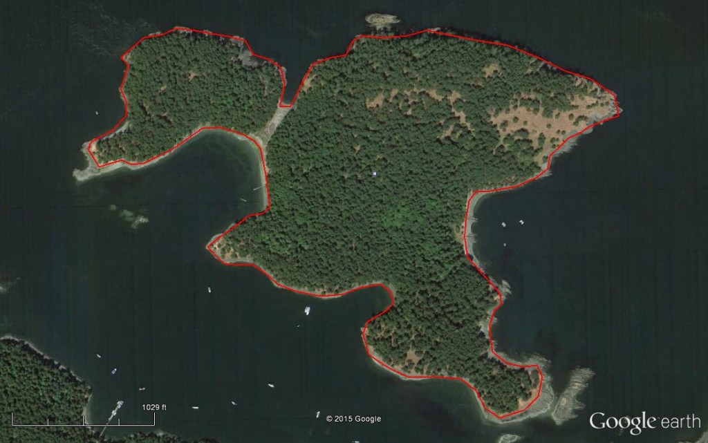
NNRG returned to the San Juans this spring, this time assisting Camp Orkila prepare for pre-commercial thinning as well as develop a forest management plan for Satellite Island. Kirk Hanson, Director of Forestry, spent the better part of a day on Satellite Island, a 116-acre remote camping island owned by the YMCA that is nestled along the northern side of Stuart Island, approximately 8 miles NW of Orcas Island.
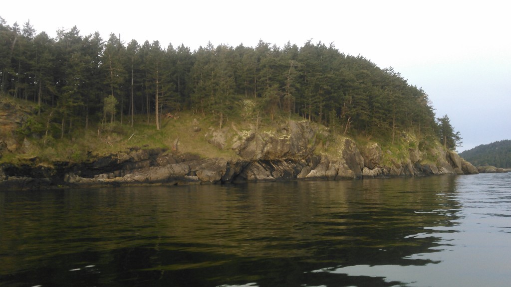
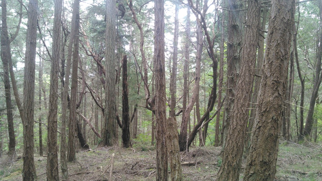
The YMCA received EQIP funding to hire NNRG to develop a forest management plan for Satellite Island. Camp Orkila acquired Satellite Island in the late 1940’s as a gift from the Colman family of Seattle. After purchasing the island, the Colman’s had the majority of it logged in order to recover some of their investment. As a result, most of Satellite Island is covered with 70-year old Douglas-fir that naturally regenerated following the harvest. However, mixed into the forest are trees that escaped the axe and range from 70 to 150+ years old.
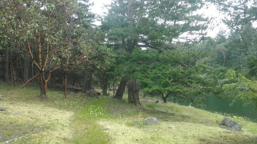
Satellite Island hosts a very diverse and eclectic range of micro-climates and ecozones. Besides Douglas-fir, the island hosts Madrone, Oregon white oak, western red cedar, grand fir, western hemlock, lodgepole pine, Douglas maple, bitter cherry and red alder.
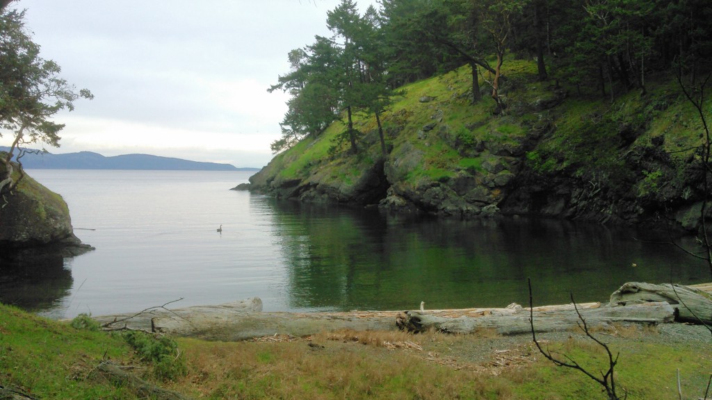
Numerous coves add to a very crenelated perimeter and extensive edge zone between the sea and the uplands of the island.
Satellite Island is almost two islands – a smaller one to the NE separated from the larger one by a low tidally influenced depression. With sea levels rising, the island may yet divide!
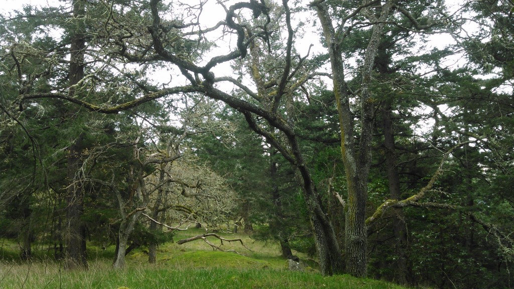
Gary Oak cling in small groups to North and Southeast tips of Satellite Island. Douglas-fir is beginning to encroach upon the oaks, reducing their population to a small handful of gaps in the otherwise coniferous canopy.
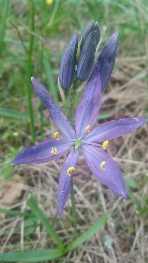
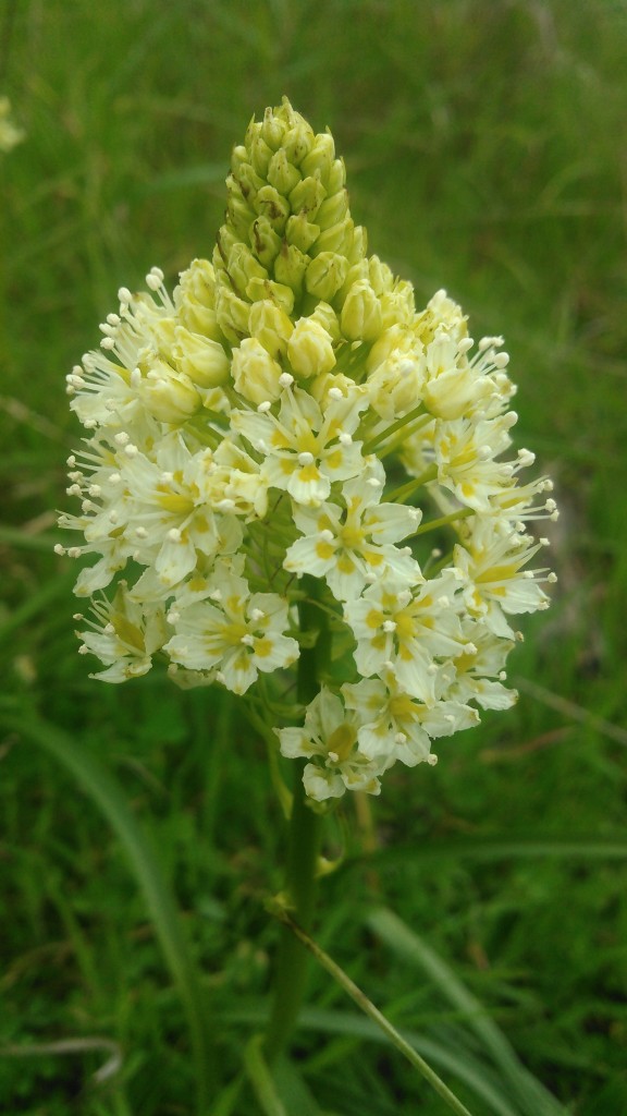
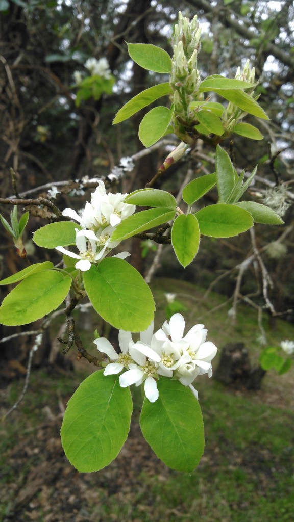
Some photos of Satellite Island residents…
Blue Camas (Camassia leichtlinii)
White “Death” Camas (Toxicoscordion venenosum)
Service Berry (Amelanchier alnifolia)
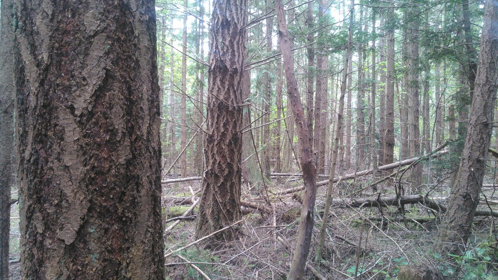
As with nearly everywhere across the San Juans, the naturally regenerated 2nd generation Douglas-fir stands on Satellite Island are extremely dense, averaging 250 – 300 tpa. The dense canopy of these stands effectively shades out most understory vegetation, and is creating a high degree of suppression mortality amongst the least dominant trees. As standing dead and downed trees increase throughout the forest, so does the fire risk on the island.
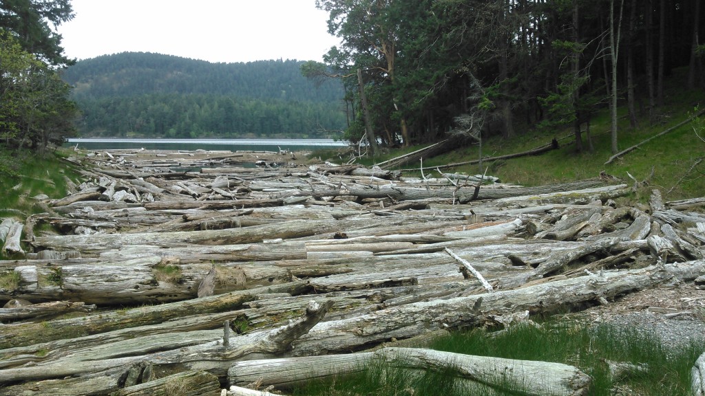
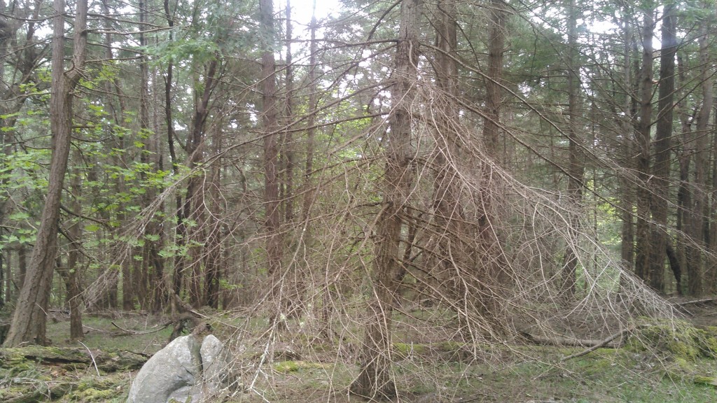
Woody fuels are building up in the understory in many areas of the forest, adding to the fire risk.
Many trees also retain the dead branches low on their trunks, creating a “ladder fuel” that can deliver ground-based fires into the canopy of the forest.
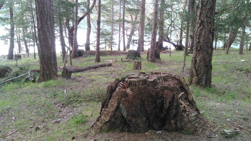
Old-growth stumps, that remain from the 1940’s when the island was first logged, give a clue as to the historic stocking density of the original Douglas-fir forests on the island. They average between 40-70 per acre. Today there are 4-5 times as many trees per acre.
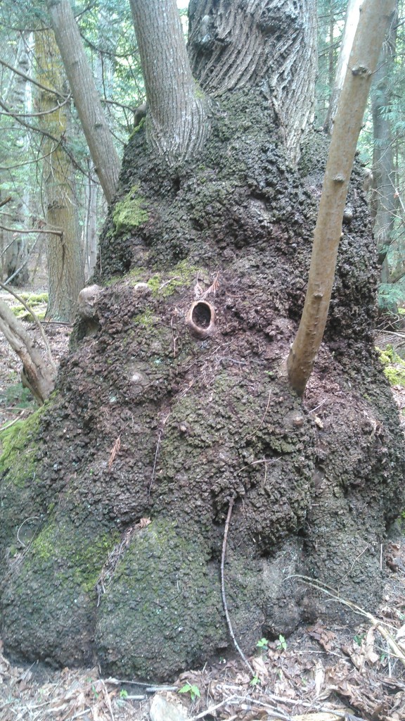
Crazy burl at the base of a Douglas maple.
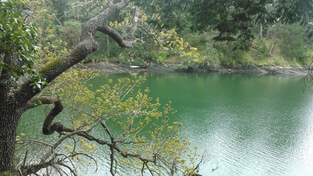
Oregon white oak reaching over cove.
Core from a 18″ dia. Douglas-fir showed approx. 105 annual growth rings. This extremely dense wood is very durable and could make high value lumber such as trim, moulding and flooring.
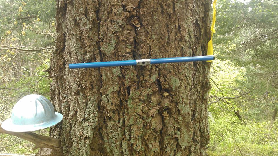
Cored a 36″ Douglas fir that was spared from the prior logging. My borer is only 14″, so I wasn’t able to reach the center, but counted 150 annual growth rings from the core I was able to extract. This tree is probably close to 200 years old.
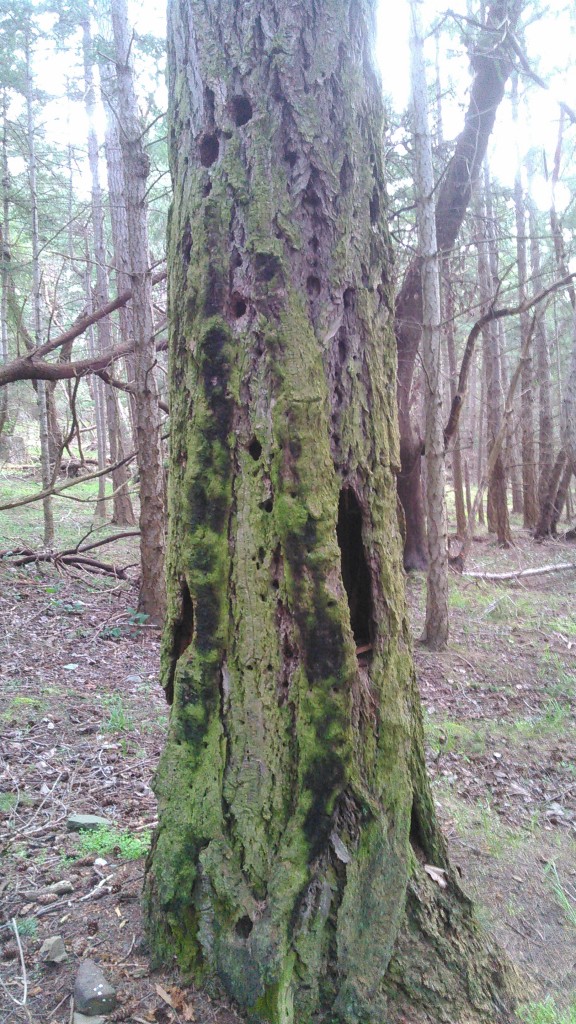
Fire scars on snags and trunks of old-growth trees tell the tale of a fire-dependent ecosystem.


Leave a Reply